Power lines
Transmission tower & conductor inspections

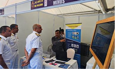
Geospatial intelligence (GeoInt) combined with autonomous aerial platforms is reshaping how defense and civil agencies monitor borders, critical infrastructure, and high-risk corridors.
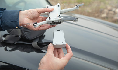
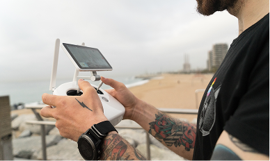
Modern ISR drones deliver live sensor fusion, AI-assisted object tracking, and secure data links that keep ground teams informed without delaying response times.
AXL Drone continues to invest in rugged airframes, encrypted telemetry, and mission software that scales from tactical squads to enterprise command centers.
Transmission tower & conductor inspections
Oil & gas infrastructure monitoring

Structural integrity assessments
Crop health & precision farming